Maps
These are various maps of Rhode Island.
Beware these are pretty big files
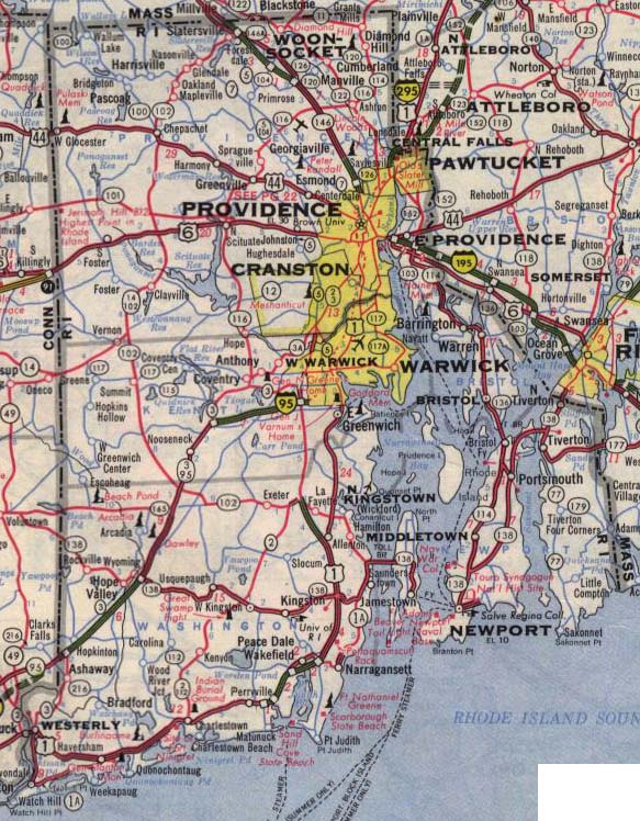
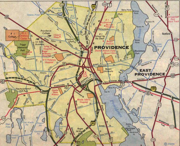
This first one is from the 1964 Rand McNally Road Atlas
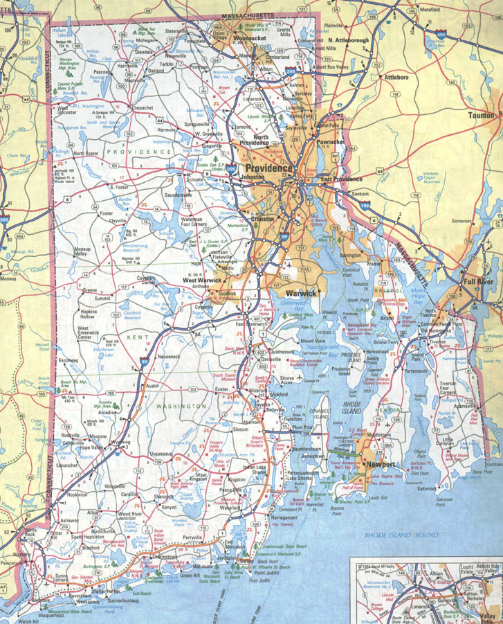
This second one is from the 1995 Rand McNally Road Atlas
This Third one is an extremely old one from 1928
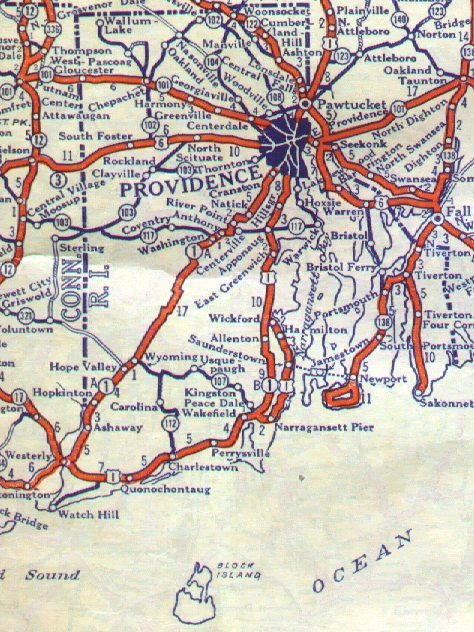
This is Fourth map is from 1930
Maps Courtesy of:
1964 Maps Courtesy of David J Greenberger grenbrgr@uiuc.edu
1928 Map Courtesy of Robert V. Droz us98@earthlink.net
1928 Map Correction by Shawn De Cesari usroute1@msn.com
1930 Map Courtesy of Shawn De Cesari usroute1@msn.com